Planned Roadworks & Travel Alerts
Staying informed about roadworks around Clifton can be confusing.
This is because different authorities manage different parts of the network.
Whether it’s a small residential repair or a major closure on the A453 or A52, these are the most reliable places to check before you travel.
One.Network - the “All‑in‑One” Interactive Map
One.Network is the primary live roadworks map used by Nottingham City Council and Nottinghamshire County Council. It displays current and planned works from councils and utility companies and updates every 15 minutes.
Best for:
Finding out why a specific street has temporary traffic lights, lane closures, or utility works.
More info:
Note:
A free account is required to view long‑range planned works.
National Highways - Major Trunk Roads
If you are travelling toward the M1, A52, or A46, these are part of the Strategic Road Network and are managed by National Highways, not the local councils. Their live closure listings include overnight works, resurfacing, and major junction upgrades.
Best for:
Major overnight closures, long‑term improvement schemes, and trunk‑road incidents.
Daily Closure Report:
Nottingham City Council — Local Roads (Clifton Village Area)
Clifton Village lies within the Nottingham City boundary, so most local streets, pavements, and neighbourhood roads are managed by the City Council. The council directs residents to One.Network for live roadworks and incidents
Best for:
Local street maintenance, resurfacing, temporary closures, and city‑centre access.
Roadworks & Closures:
Nottinghamshire County Council - Rural & Neighbouring Areas
As soon as you head toward Gotham, Ruddington, East Leake, or anywhere outside the City boundary, you enter Nottinghamshire County Council jurisdiction. They publish road maintenance, programmed works, and disruption updates.
Best for:
Commuting south or east out of Clifton into Rushcliffe and surrounding villages.
County Roadworks:
Social Media Alerts
Emergency closures (e.g., burst water mains) often appear first on X (formerly Twitter):
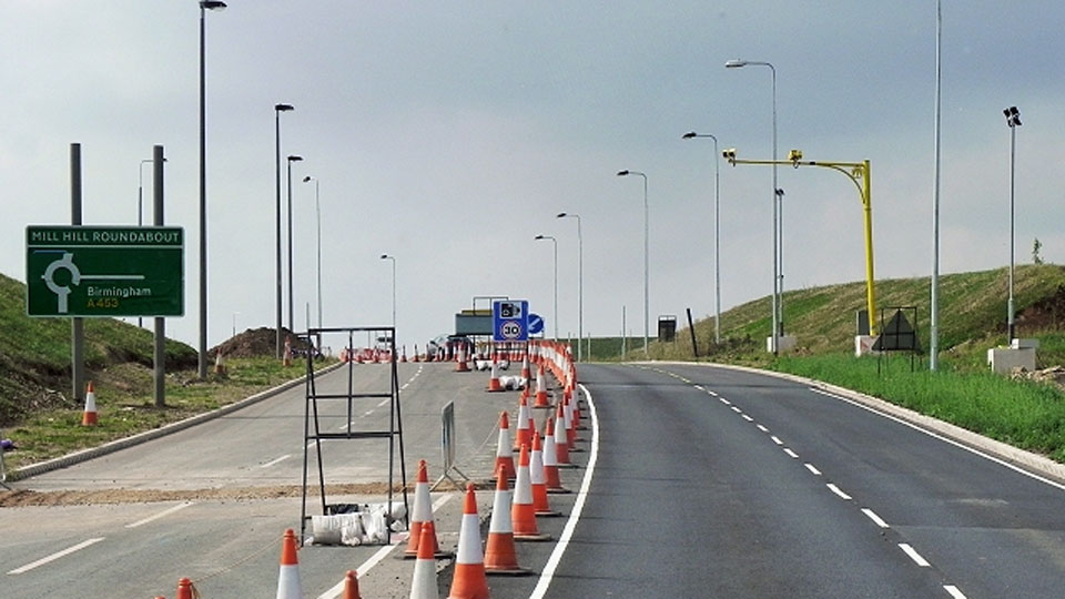
The “A453 Rule”
The A453 Remembrance Way is a high‑priority primary route feeding the M1.
Major works are typically announced in advance via roadside signage and appear in National Highways’ closure listings.
Section 58 Restrictions
After major resurfacing, councils can legally block further excavations for 6 months to 5 years, depending on the work type.
This prevents repeated digging‑up of newly repaired roads.
Emergency Contacts
Download this one-page guide and keep it in your vehicle or by your phone for quick reference.
© Clifton Village Residents Association 2026
Created by: kazarooony webdesign